Some street names in CALA’s Kingfisher Park area at Newmills area are drawn from Balerno’s farming heritage, and in particular from the area around Threipmuir and Harlaw Reservoirs.
Charters record that by the thirteenth century the grazing lands (including Threipmuir) along the north slopes of the Pentland Hills between Harperrig and Clubbiedean were shared in common between several barony estates.
In 1280 a meeting was held at St Katherines in the Hope, to resolve a dispute between estate stewards and tenants of two main landlords, who were then the King, Alexander III, and the Lord of Brad or Braid. St Katherine’s was a thirteenth century chapel built by the StClairs of Roslin, now lost beneath the waters of Glencorse Reservoir.
The dispute was about historic land use around Bavelaw. Some say that the name Threipmuir derives from that dispute since it means "debatable muir”. Others point to Threipmuir deriving from the earlier Royal Hunt of Roslin.
Somerville Road, Craigentarrie Mews, Ramslack Street and Somerville Road all draw their names from Balerno’s farming history. Two refer to now disappeared farms and two remember some amongst the earliest farming families.
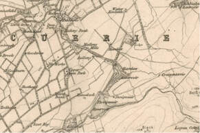
On the 1865 map Ramslack is shown, lying almost due east of March Bank between it and Threipmuir Reservoir which was formed by the construction of the damming of the Bavelaw Burn between 1843 and 1848. There is no longer any visible sign of Ramslack Farm.
Craigentarrie lies slightly to the north east of Ramslack beyond the Black Springs. The Shiiels family farmed at Threipmuir until around 1841, while the Somervilles were at Bavelaw Mill now Bavelaw Mill Farm.
Craignentarrie Mews
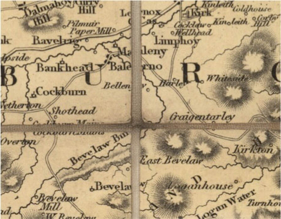
Craigentarrie Mews are named after Craigentarrie, a small holding dating from the late 17thC, which lay to the North East of the Black Springs at the eastern end of Threipmuir Reservoir. It is clearly marked on the 1786 and also the 1820 map in which it is referred to as Craigentarley.
Craigentarrie is from the Gaelic Craig an Tairbh = bull rocks. Stuart Harris gives this and another possibility Craig an Tarren = rock of the knowe.
The history of Craigentarrie is probably fairly typical of many of the small upland steadings in the Pentland Hills area. Originally part of a much larger estate focused on Killeith (now Kinleith, but spelled Kenleith in the 1865 map) there was probably settlement from about 1673. The location of the farmstead appears to have shifted and the position of the original site cannot be accurately located.
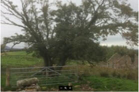
The first house on the present site was likely to have been built about 1787-8, following division and enclosure of the Craigentarrie lands into clearly defined arable and pasture areas. Boundary walls overlie cultivation rig but some of these rigs also appear to respect a small lime kiln so cultivation may have continued after enclosure.
The Blackadder family, William with Mary his wife and five children moved into Craigentarrie around 1900/1901. He was aged 37 at the time; Mary was also 37. He is listed as a Shepherd in the 1901 census. They may have been the last tenants. In the 1911 census William is listed as living at Kirkton Farm near Glencorse with Mary and his by then 10 children; he is still engaged as a Shepherd. By then his eldest son Gilbert was 20 and was living at Honeybank Carluke and working as a farm labourer.
The Blackadder family, William with Mary his wife and five children moved into Craigentarrie around 1900/1901. He was aged 37 at the time; Mary was also 37. He is listed as a Shepherd in the 1901 census. They may have been the last tenants. In the 1911 census William is listed as living at Kirkton Farm near Glencorse with Mary and his by then 10 children; he is still engaged as a Shepherd. By then his eldest son Gilbert was 20 and was living at Honeybank Carluke and working as a farm labourer.
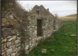
Craigentarrie (and Threipmuir) were certainly still occupied and functioning as farms until after the Second World War. Deliveries of groceries along with paraffin were made each Thursday from Juniper Green Co-op. By 1975 it was being used as a week-end retreat, but stories are told of supplies being delivered by ski to Craigentarrie with in the extreme winter of 1962/63. The odds are it was still operating as a farm at that time. Craigentarrie would have had only basic accommodation; the house is recoded in 1911 as having two windows.
Ramslack Street
Ramslack Street refers to the now disappeared Ramslack steading which according to Stuart Harris' Place Names of Edinburgh comes from the Scots slack, from old Norse slakki, a hollow or small valley, while the first part is probably from ramsh- wild garlick and meaning with rank growth.
Ramslack is shown on the 1865 map.
There are stories around Ranslack however. The earliest one comes from 1815 and tells us how harsh living in the Pentlands was at that time. This is from the Edinburgh Annual Register for 20th April 1815.
On Friday morning the body of a woman was discovered among the snow, upon the farm of Westside, in the parish of Pennicuik. It was immediately recognised to be the wife of John Melrose, a poor weaver at Ramslack in the parish of Currie, who, the preceding Wednesday, had passed in that direction, on a visit to her aged parents beyond Peebles, and who, on her return home, had fallen a victim to the severity of the weather, and the fatigue of a long journey. She was taken into the farm-house, but every endeavour to restore animation proved ineffectual. What renders the circumstance more distressing is, she has left seven children, the eldest of whom is not more than 13 years of age. On Thursday evening Melrose had set out to meet his wife, and travelled several miles, till he came within sight of the place where her body was found; but supposing she had stopped with some friends by the way, he returned home.
Westside Farm was situated on the south slopes of the Pentland Hills about a mile north of the A702 and below the West Kip.
Ramslack Farm might not have been remote by today’s standards but in the not so distant past it would have been a harsh place to live.
Shiels Way
In 1759 Charles Scott, proprietor of Bavelaw, renewed the tack of the middle third of Wester Bavelaw for 14 years to William Sheills (NAS GD1/629/17). William’s father Alexander Sheills, a tenant on the estate since at least 1704, had died while his son was still in his minority but the family were able to continue their tenancy thanks to assistance given to them by neighbour William Guthrie of Acrehead.
The Sheills family continued to farm Threipmuir for a further 75 years and rental payments are recorded from 1785 through to 1827. The 1841 census shows William Shiels living at Threipmuir with his wife Margaret, both aged 35, his mother Elizabeth, aged 60. It does not record any other immediate family, and there is no entry in the 1851 or subsequent census returns for Shiels at Threipmuir.
The Sheills family continued to farm Threipmuir for a further 75 years and rental payments are recorded from 1785 through to 1827. The 1841 census shows William Shiels living at Threipmuir with his wife Margaret, both aged 35, his mother Elizabeth, aged 60. It does not record any other immediate family, and there is no entry in the 1851 or subsequent census returns for Shiels at Threipmuir.
Somerville Road

The Somervilles were the last tenants of Bavelaw Mill so far as we are aware. Bavelaw Mill was located on the Bavelaw Burn towards the west end of what is now Threipmuir reservoir, and is shown on the 1820 map. It is now Bavelaw Mill Farm.
There are records of a Somerville family at Shothead Farm in the 1851 census. Shothead Farm is recorded as the property of Watson’s Hospital although Shothead may have become Cockburn Mains (1766), then Cockburn Hill (1893). Shothead means the head of a field, usually cropped rotationally. It was renamed Cockdurno by Lord Balerno to combine part of the Cockburn name with the name of the farm/estate of his wife – Durno, Drumdurno in Aberdeenshire.
Both Bavelaw Mill and Shothead are shown on the 1820 map.
Bavelaw Mill is thought to have been one of the few Norse mills; a Norse mills uses a horizontally mounted waterwheel driving a pair of grindstones directly, without the intervention of gearing.
Another well-known Somerville features in the stories surrounding the naming of Horsburgh Park and Crescent.
Balerno Community Council are grateful to Balerno SWI and also to Currie and District Local History Society and in particular to Malcolm Fergusson and Douglas Lowe for their help is assembling the information on this page.
